


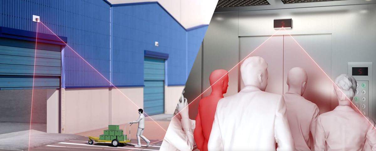
SLAM (simultaneous localization and mapping) is a method used for autonomous mobile robots (AMRs) that lets you build a map and localize your vehicle in that map at the same time. LiDAR (light detection and ranging) technology assists robots to navigate their surroundings through object perception, identification and collision avoidance. LiDAR sensors provide information in real time about the robot’s surroundings such as walls, doors, people and other objects. LiDAR can assist robots in carrying out a wide range of tasks and operating autonomously. Robots need to see their surroundings and the obstacles around it. LiDAR provides high-accuracy depth information with a wide 3D field of view and high resolution.
When used in combination, the two technologies provide the most compelling solution for autonomous mobile robots (AMRs) to navigate dynamic environments safely and efficiently.
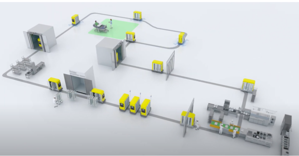
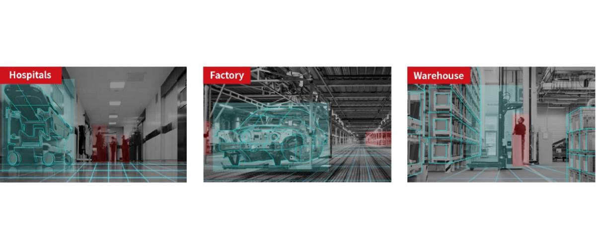
Keep reading to learn more about how SLAM and 3D LiDAR technologies work together to enable the use of AMRs in hospitals, warehouses and more.
What Is SLAM?
SLAM is a process by which a robot builds a map of its surroundings while simultaneously keeping track of its own location within that map. This is done by using sensors to measure distances and identify landmarks and then applying algorithms to process that data into a usable map. One of the key advantages of SLAM is that it doesn‘t require any prior knowledge of the environment to create an accurate map.
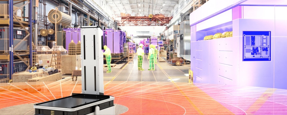
SLAM is a critical capability for any AMR that shares its environment with humans, other robots or obstacles with unpredictable movement patterns — such as hospitals and manufacturing facilities where robots conduct work alongside humans stocking shelves or caring for patients. SLAM can be implemented in many different ways, but it ultimately depends on visual data, sensor data, point clouds and rapid processing all working together seamlessly.
What Is LiDAR?
LiDAR is a sensor technology that uses lasers to measure distance. LiDAR sensors emit laser pulses and then measure the time it takes for the pulses to bounce back. This is referred to as Time of Flight (ToF). By measuring ToF, LiDAR sensors can create an accurate representation of the environment. The Comet Lab Research team explains it like this:
“To produce complete point clouds, the sensor must be able to sample the entire environment very quickly. One way that LiDAR does this is by using a very high sampling rate on the individual emitters/receivers. Each one emits tens, or hundreds of thousands of laser pulses every second.”
This is how autonomous robots are able to detect and avoid obstacles in their environment. One advantage of LiDAR is that it can be used in all lighting conditions, including complete darkness.
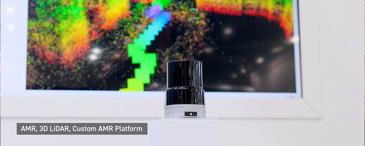
3D LiDAR
3D LiDAR may be one of the “most significant innovations in the field of automation in the past few years.” One of the primary differences between 2D LiDAR and 3D LiDAR is the way it collects data. 2D LiDAR sensors emit a beam along an object‘s horizontal plane. 3D LiDAR, according to LidarandRadar.com, “focuses its beam along its target‘s vertical plane to capture three-dimensional data on the X, Y, and Z axes. This mode of scanning provides more detailed object information.”
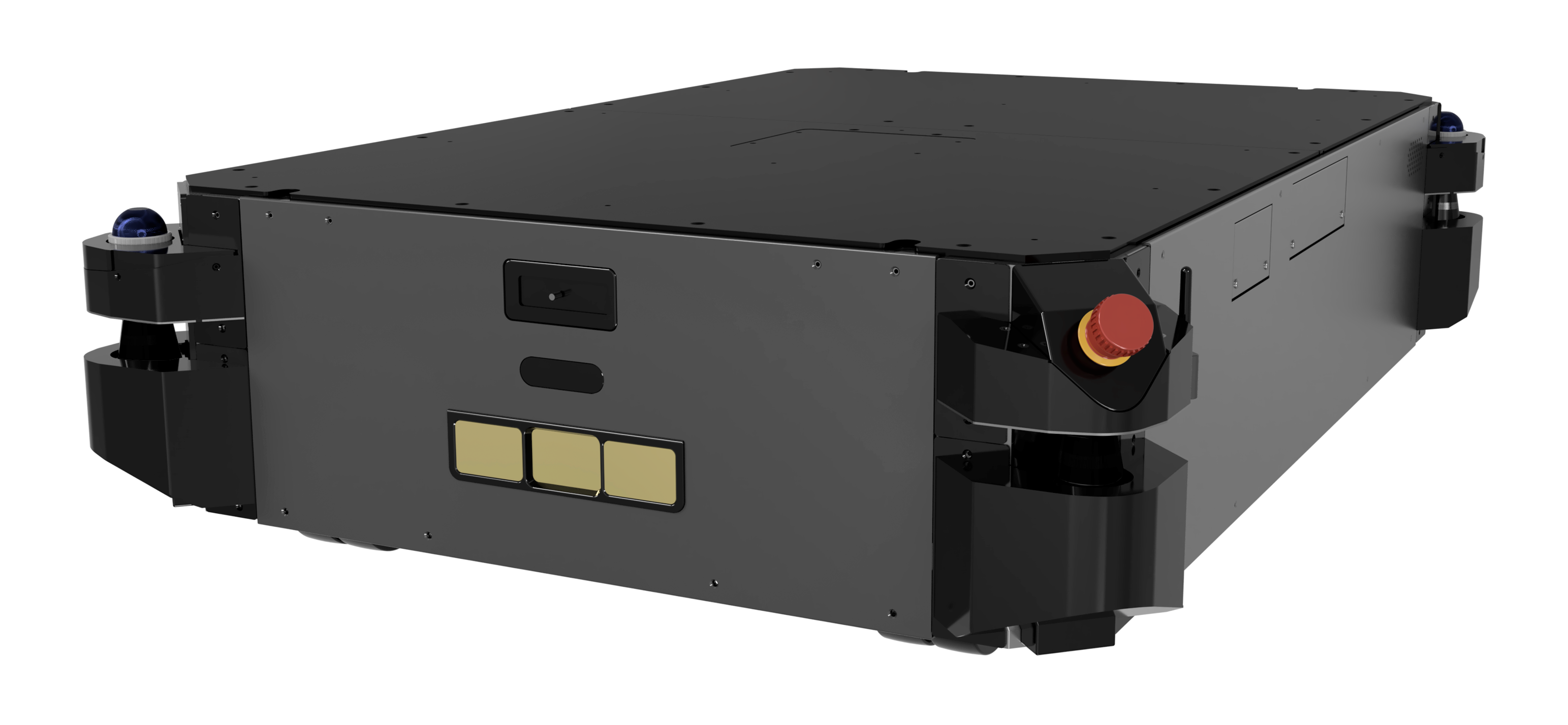
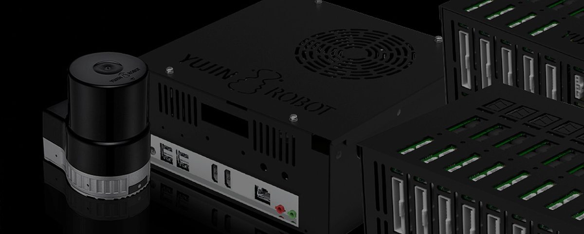
Advanced 3D LiDAR by Yujin Robot
Yujin Robot‘s 3D LiDAR technology, YRL3V2, is a compact 3D LiDAR optimized for robotic applications. The single-channel 360-degree 3D scanning ToF (Time of Flight) laser sensor provides a wide FoV (field of vision) — up to 360 degrees horizontally and 80 degrees vertically. It measures the distance to surrounding objects and provides point clouds for accurate mapping. YRL3V2 also provides four selectable scanning modes optimized for AMRs. Customers can choose the optimal mode for their applications.
How SLAM and 3D LiDAR Work Together in AMRs
When it comes to creating safe and effective AMRs, no single technology can do it all. Combining the strengths of both 3D LiDAR and SLAM technologies makes it possible to create a much more comprehensive picture of an environment than either one could on its own.
In dynamic indoor environments like hospitals or warehouses, SLAM and 3D LiDAR work together to allow AMRs to quickly identify and react to constant changes and moving obstacles.
AMRs equipped with both 3D LiDAR and SLAM technologies can make more accurate decisions and navigate more efficiently, thus becoming more effective and safer partners for their human coworkers.


 Newsletter Subscription

